Payment & Security
Maksutietosi käsitellään turvallisesti. Emme tallenna luottokorttitietoja, emmekä ole pääsyä luottokorttitietoihisi.
Kuvaus
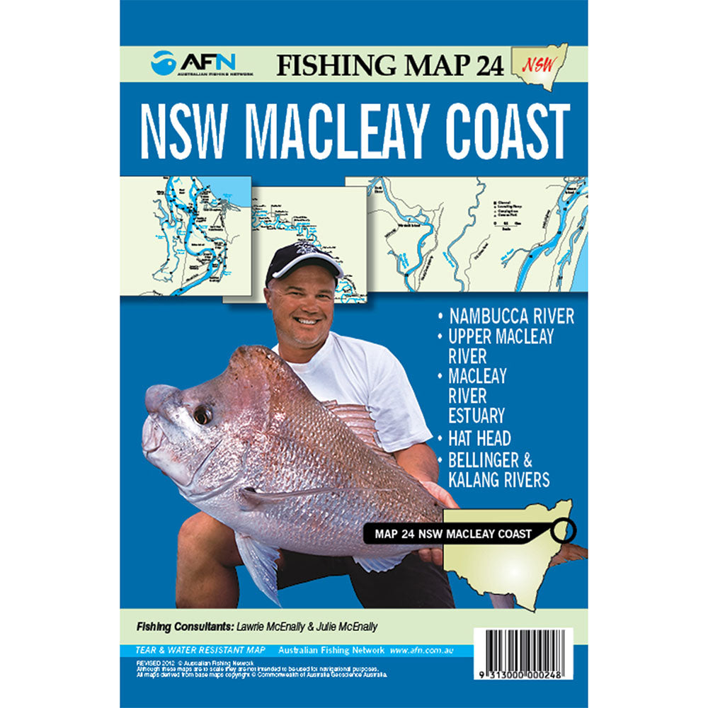
Mapa 24: Rock South West
El estuario del río Upper MacLeay y el río MacLeay
Hat Head y Bellinger River
Río Kalang y río Nambucca
Mapa de pesca resistente a la lágrima y el agua
Product Specifications
- Formato: mapa de hoja
- Idioma: inglés
- Publicado: 30 de octubre de 2012
| Length : 25 cm | Width : 17,5 cm |
| Height : 0,3 cm |

Helppo paluu
Ilmainen 365 päivän takuu

Osta ja maksa valuutassasi
Toimitetaan nyt yli 40 maahan

100 000+ tuotetta
Upeat tuotemerkit. Kaikki lahjatapahtumat.
Aiheeseen liittyvät tuotteet
Top Selling Items
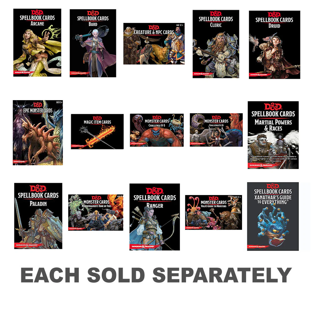
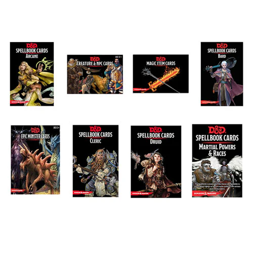
Dungeons & Dragons
Cartas de libro de hechizos de mazmorras y dragones
Myyntihinta-Sta $ 170.99
Varastossa
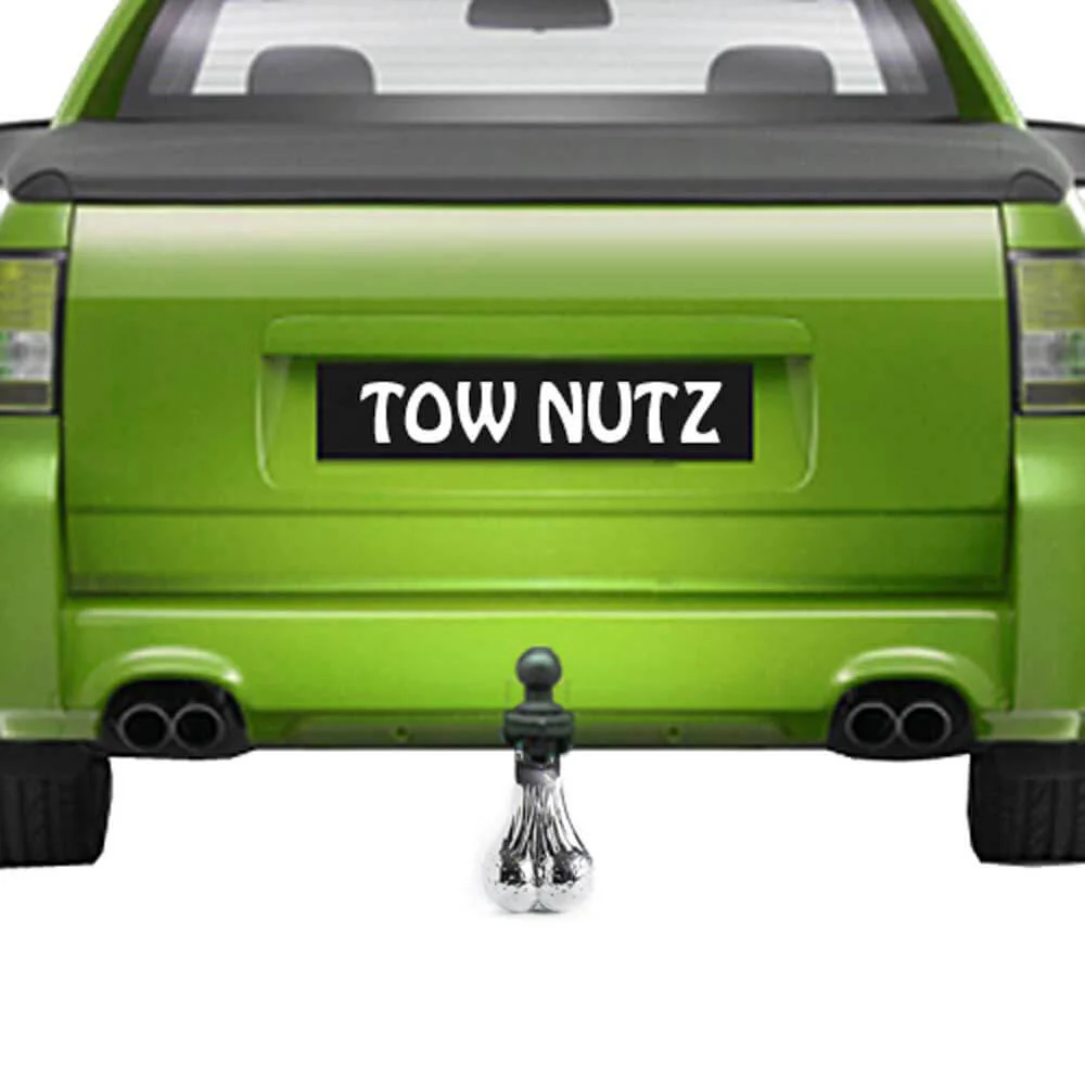

MDI Australia
Accesorio de pelota de remolque de nuez de remolque
Myyntihinta-Sta $ 278.95
Varastossa
🛒
¡COMPRA MÁS AHORRA MÁS!
Trending Products
Tallentaa 14%


Trendtastic
QuickCapture VHS/Tape/Vinyl to DVD/CD Converter
Myyntihinta$ 714.95
Säännöllinen hinta$ 829.99
Varastossa


MDI Australia
Lámpara de movimiento de diamantes de magma / lava
Myyntihinta-Sta $ 353.99
Varastossa
🛒
¡COMPRA MÁS AHORRA MÁS!

