

Payment & Security
Your payment information is processed securely. We do not store credit card details nor have access to your credit card information.
Description
Map 6: WesternPort Map includes over 150 GPS marks.
Waratah Bay
Shallow Inlet
Andersons Inlet & Venus Bay
Tear and water resistant fishing map
Product Specifications
- Format: Sheet Map
- Language: English
- Published: 31st October 2008
| Length : 25 cm | Width : 17.5 cm |
| Height : 0.3 cm |


Easy Returns
Free 365 Day Warranty

Shop & Pay in your currency
Now shipping to 40+ countries

100,000+ Products
Amazing Brands. All Gift Occasions.
Related Products
Top Selling Items


MDI Australia
Tow Nutz Tow Ball Accessory
Sale priceFrom $ 278.95
In stock
🛒
¡COMPRA MÁS AHORRA MÁS!


Save 27%


MDI Australia
Spinner Lighter Case
Sale price$ 125.95
Regular price$ 172.99
In stock
🛒
¡COMPRA MÁS AHORRA MÁS!
Trending Products
Save 30%

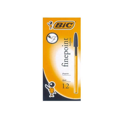
Bic
BiC Finepoint Ballpen (12/box)
Sale price$ 135.99
Regular price$ 193.99
In stock
🛒
¡COMPRA MÁS AHORRA MÁS!


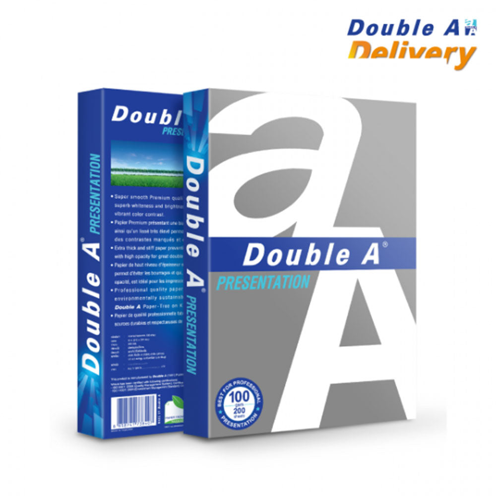
LatestBuy
Double A A4 Copy Paper 100gsm 200pcs (White)
Sale price$ 159.99
In stock
🛒
¡COMPRA MÁS AHORRA MÁS!
Save 21%

Avanti
Avanti Stainless Steel Sandwich Guide
Sale price$ 170.99
Regular price$ 215.99
In stock
🛒
¡COMPRA MÁS AHORRA MÁS!


My Hero Academia
My Hero Academia Katsuki Bakugo US Exclusive Pop! Vinyl
Sale price$ 425.95
In stock
🛒
¡COMPRA MÁS AHORRA MÁS!
Save 15%

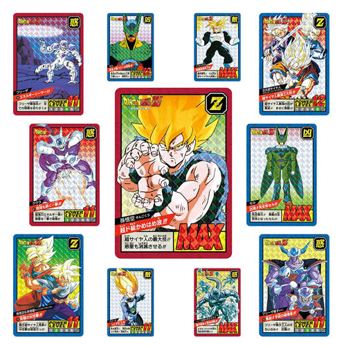
Bandai
Dragon Ball Super Carddass Battle Premium Set
Sale priceFrom $ 2,526.99
Regular price$ 2,973.99
In stock
Save 25%
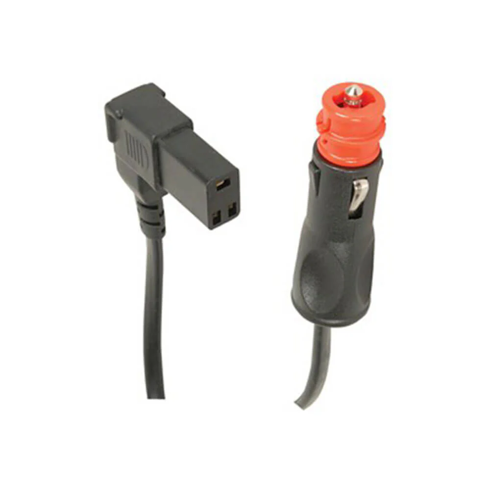
Jaycar
Replacement Cable with 3 Pin Socket for Engel Fridges 8A
Sale price$ 483.95
Regular price$ 644.99
In stock